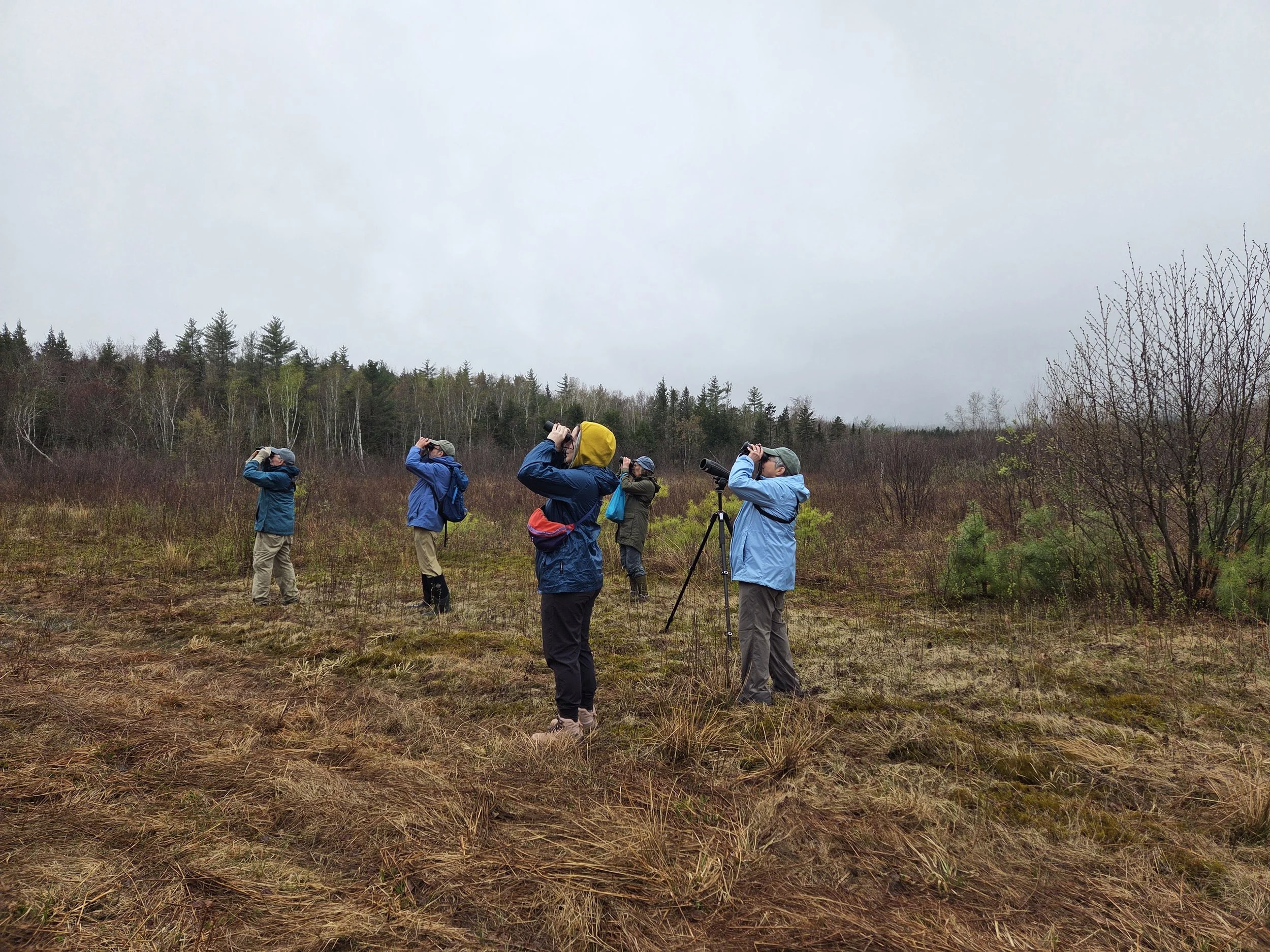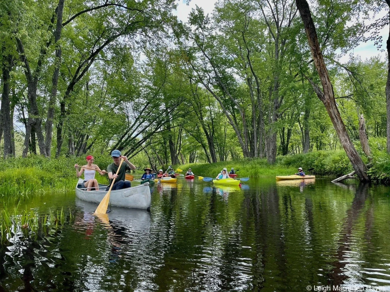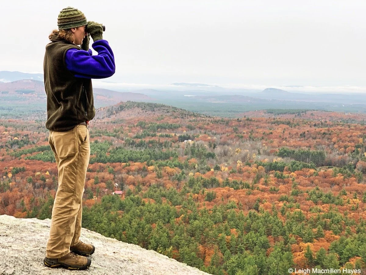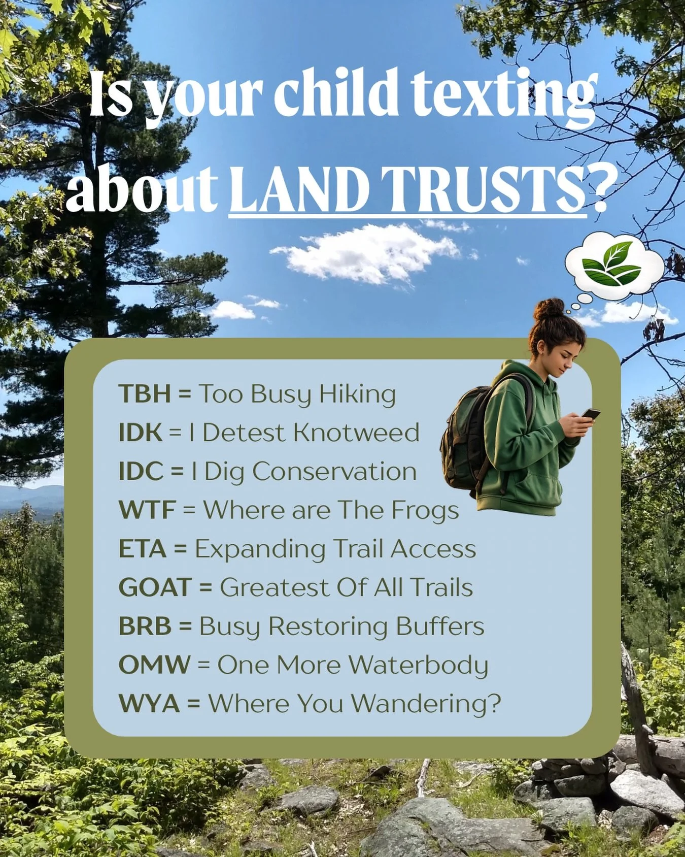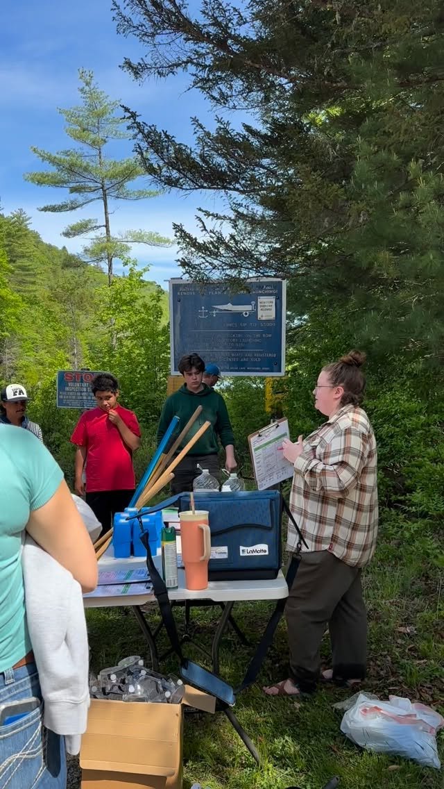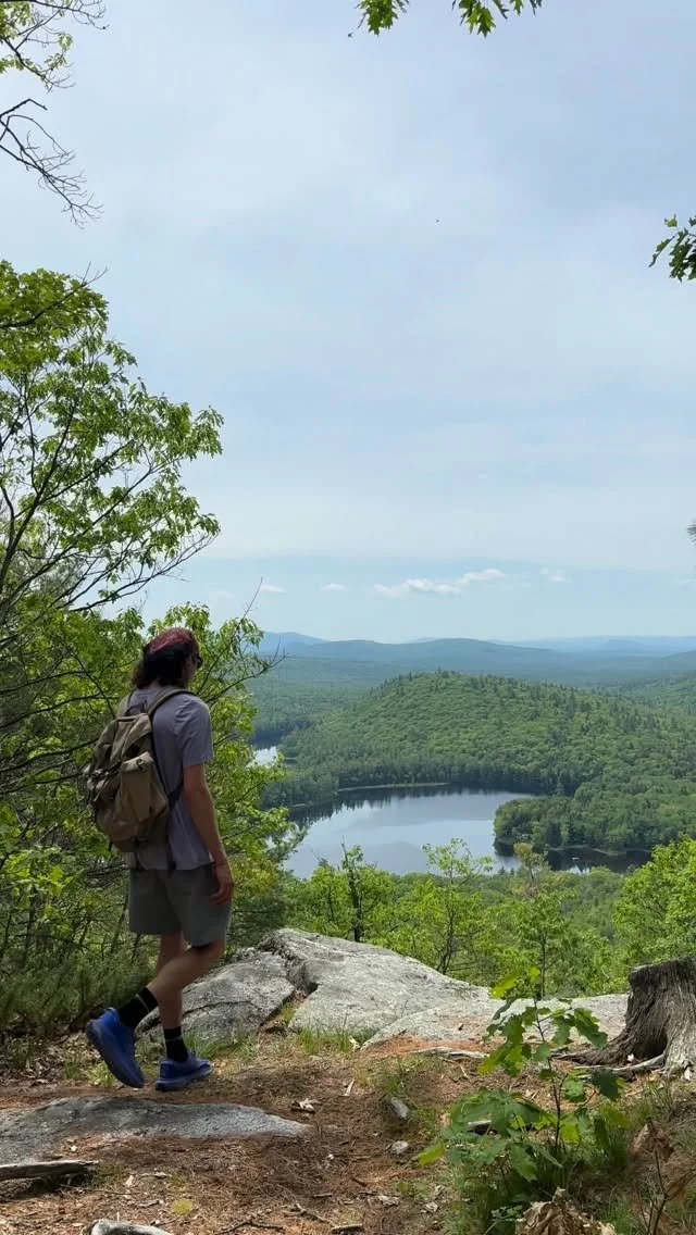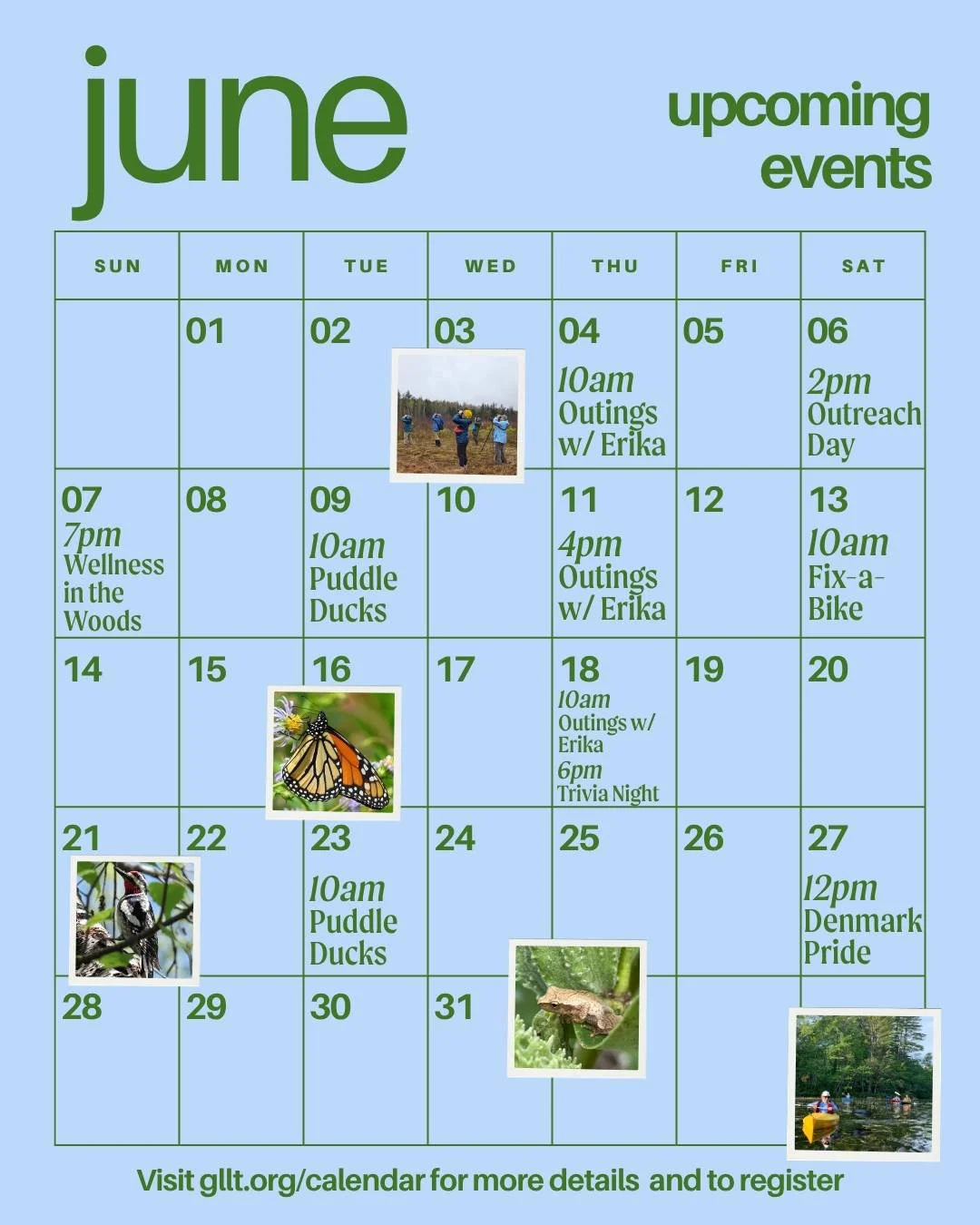
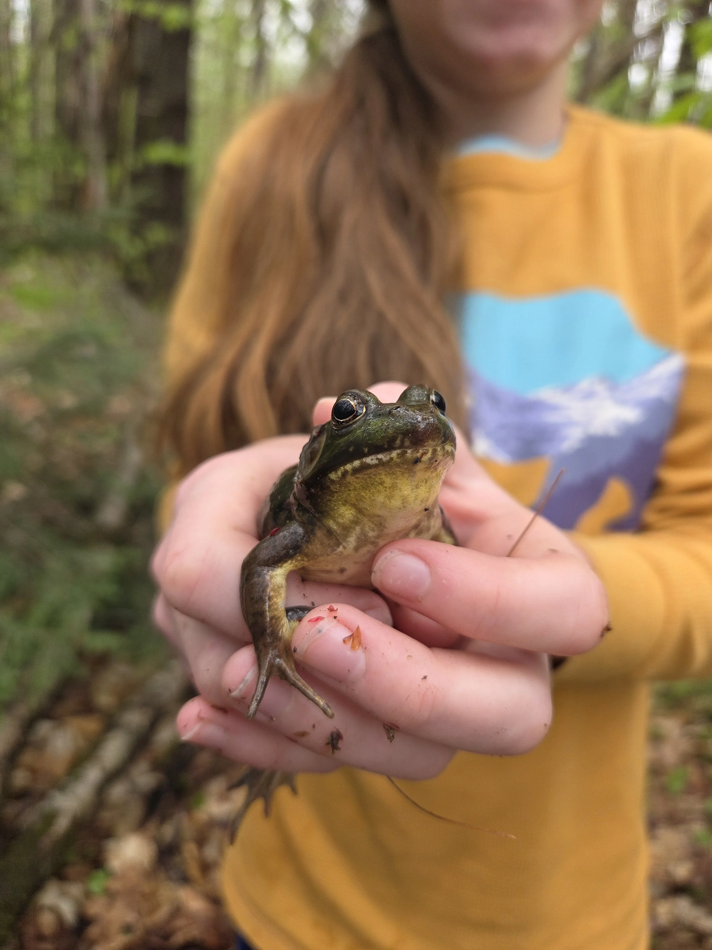
What We Do
We conserve and care for lands and waters that support wildlife, clean water, and healthy communities. By connecting people with the land and one another, we inspire conservation that responds to local and regional needs and ensures these benefits endure for generations to come.
The Greater Lovell Land Trust is a donor-supported organization. Please help sustain our work, our communities, and the region’s natural beauty.
We’re back in our office at 208 Main St., Lovell, ME, after some much-needed renovations and expansion.
Join us at our office open house on 8/11 from 3:00 - 4:30 pm for ice cream and beverages.
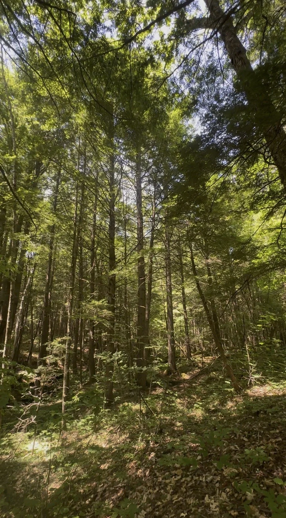
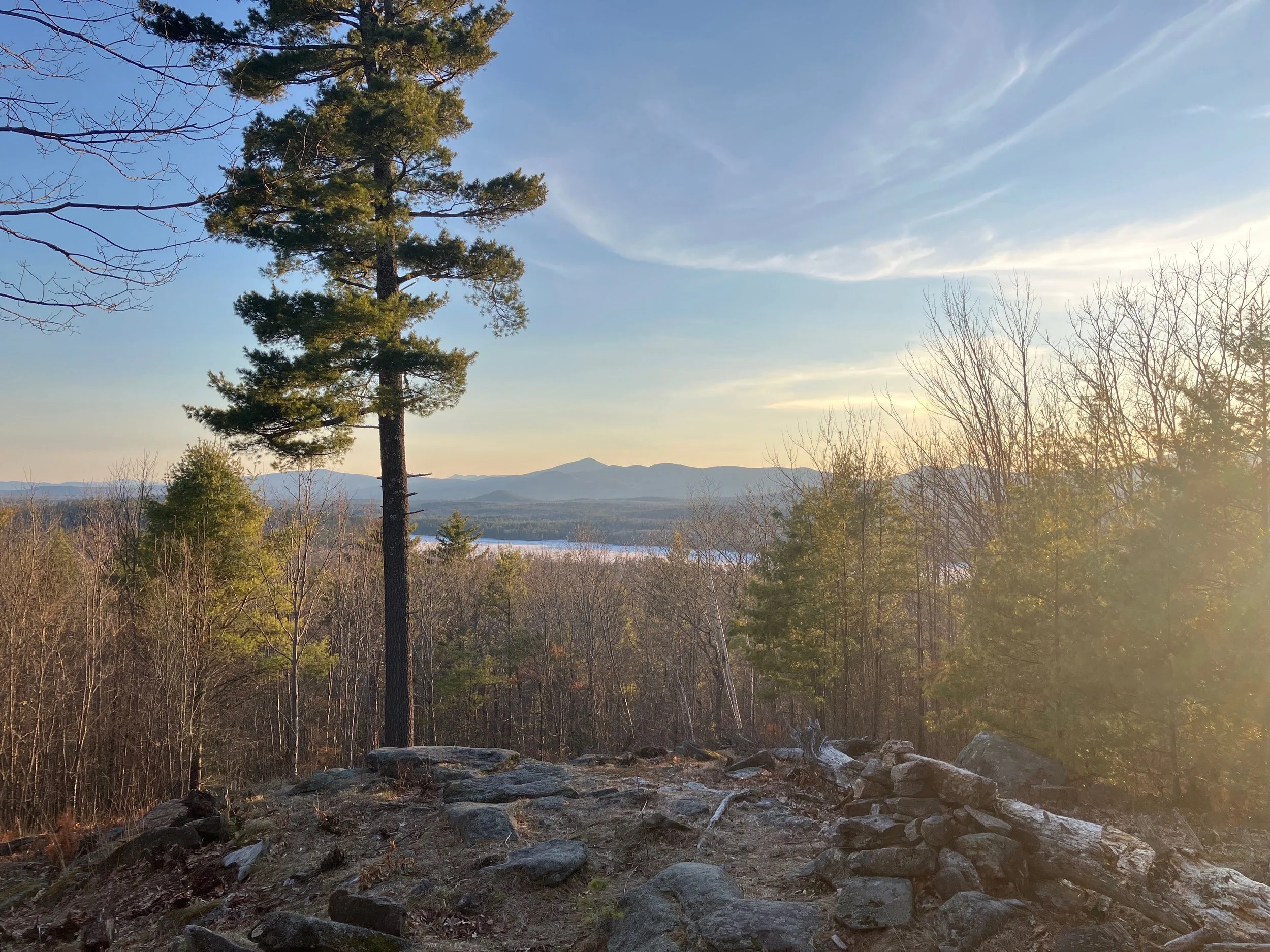
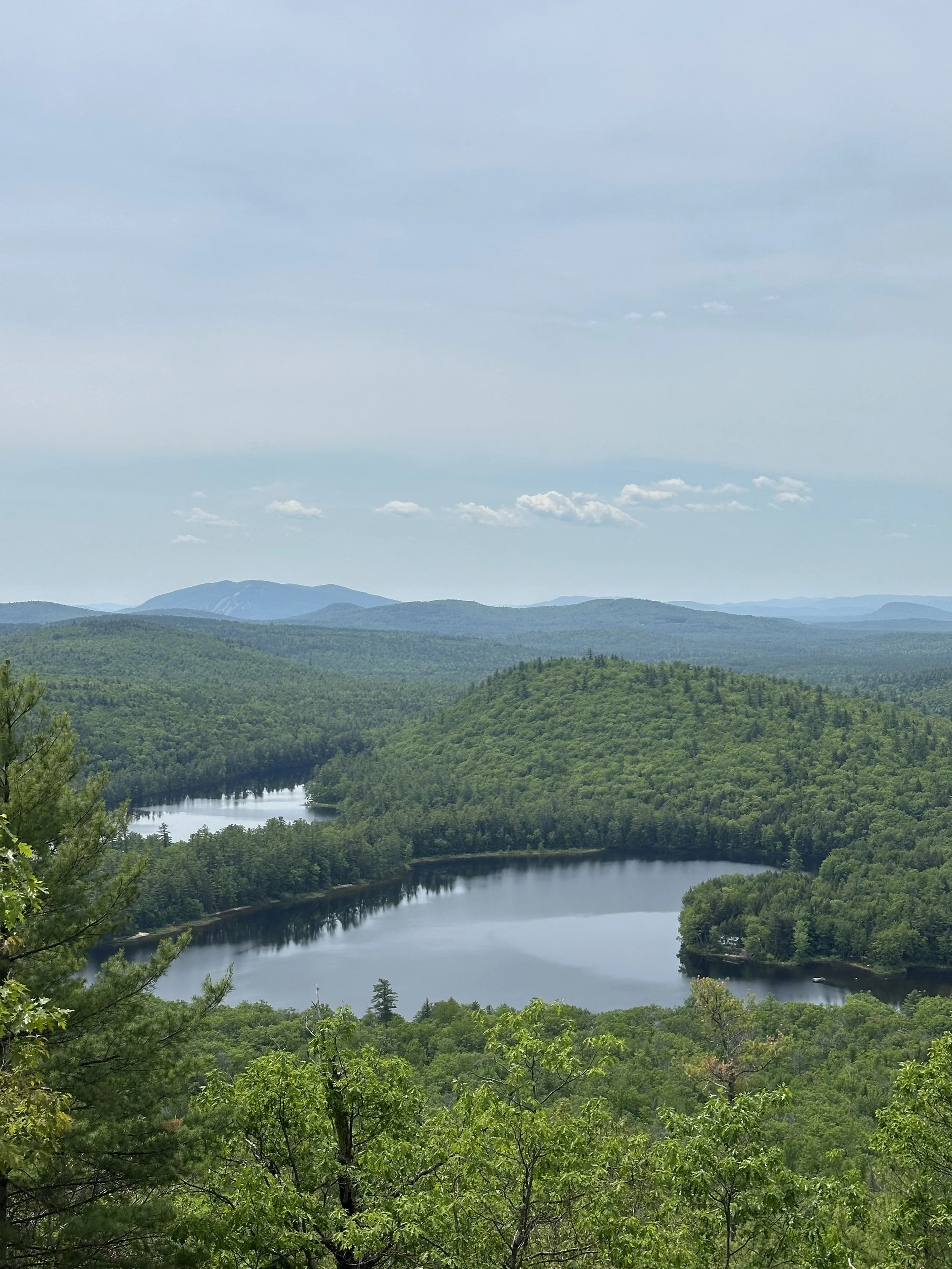
Learn about GLLT’s newest property: Stephen J. Kushel Forest
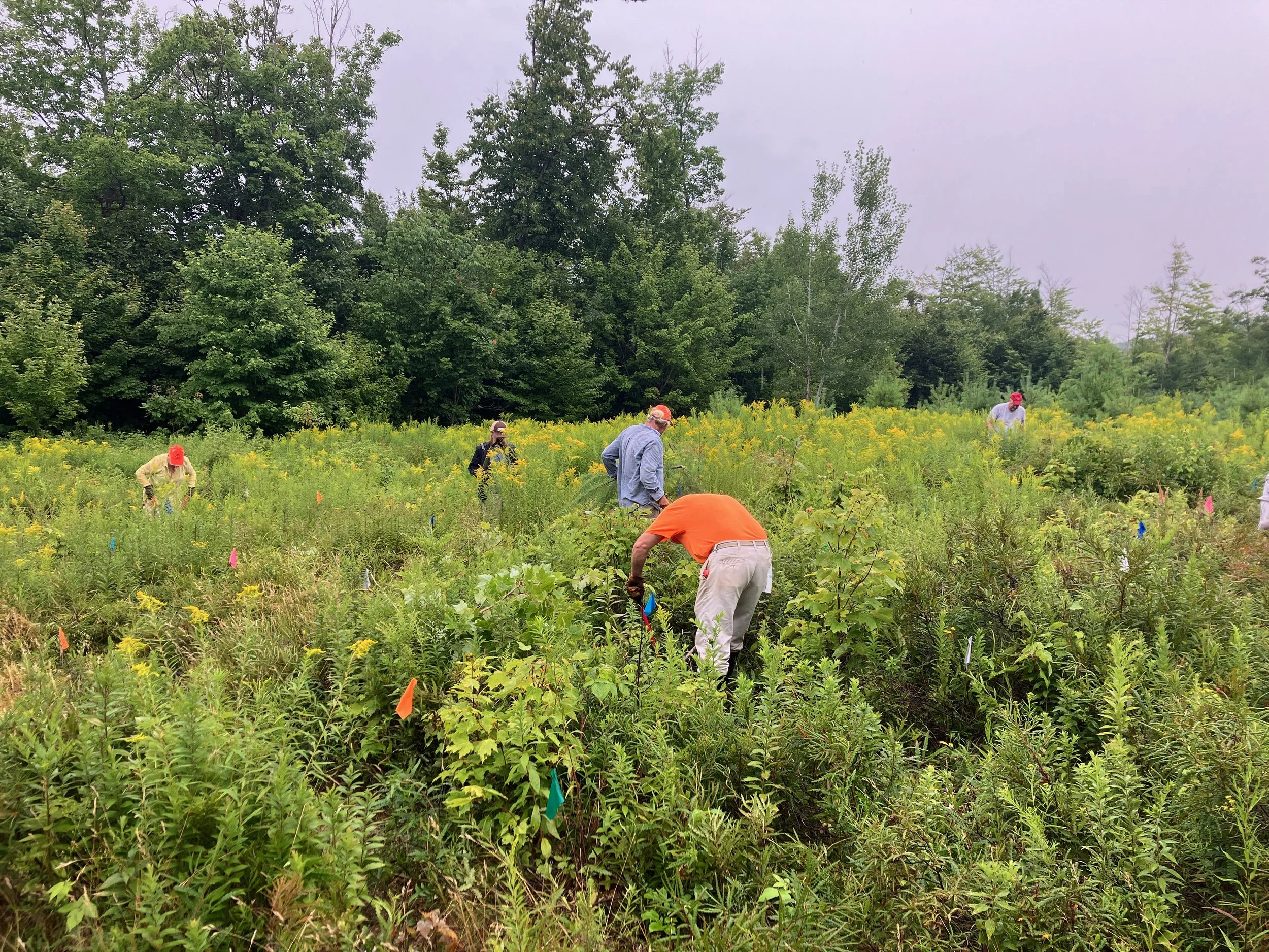
Greater Lovell Land Trust recently received a generous donation of over 500 acres of land located in Lovell and Stow. We are grateful to the Kushel family for their thoughtful donation. Read more about the donation and our plans for increasing recreational opportunities on the land.